Hike · Tarn
Au fil de l'eau
6.7 km2h24+377 mEasy
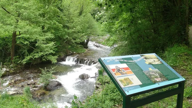
Sentier de randonnée pédestre jalonné de 16 panneaux retraçant l'histoire de l'Arnette et de l'industrie textile Mazamétaine.
- 💧 2 drinking water points mapped on the route (OpenStreetMap)
Description provided by CD Tarn (Tarn Pleine Nature), in French.
Getting there by train and bus
This route links two stations: you can walk it in either direction, without coming back to where you started.
- Mazamet station start · 14 min walk (walking time measured on the IGN footpath network)
- Mazamet - Lycée Riess bus stop start · 25 min walk (walking time measured on the IGN footpath network)
Travel time from the main stations
- Toulouse Matabiau 1h41 by train
- Montpellier Saint-Roch 3h07 by train
- Nîmes 3h37 by train
- Perpignan 3h12 by train
- Béziers 2h07 by train
- Carcassonne 2h54 by train
Indicative times from SNCF GTFS data. Actual times, there and back, are worked out on the interactive map.
Other hikes from Mazamet
Data source
Data produced by CD Tarn (Tarn Pleine Nature), updated on 23 June 2026
Caminada lists trails, not their access status in real time. Always check the local situation (prefectural orders, weather, works) before you set off.