Causse du Masseguin
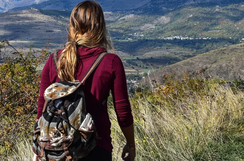
First-rate hike reserved for enthusiasts along the heights of the Valdonnez, including the Masseguin massif. The ridge lines overlooking the valleys have far-reaching views all the way to the Truc de Balduc.
- 💧 3 drinking water points mapped on the route (OpenStreetMap)
Description provided by Parc National des Cevennes.
When to go
Snow possible from December to March Highest point: 1,210 m.
Above 1,200 m, snow can cover the waymarks and make the route hard to follow. Ask locally before setting off out of season.
Best season: April to November.
Getting there by liO bus
The start of the trail can be reached on foot from the stop, without a car.
- Chadenet - Chadenet Village bus stop · 39 min walk
Other hikes from Chadenet - Chadenet Village
Data source
Data produced by Parc National des Cevennes, licence: Open data (data.gouv.fr) - reutilisation libre, attribution par fiche, updated on 24 August 2026
Caminada lists trails, not their access status in real time. Always check the local situation (prefectural orders, weather, works) before you set off.