Fourches and the English cemetery cemetery
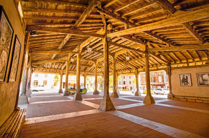
Saint-Félix-Lauragais is a village of breathtaking views - and what views! The village overlooks the entire Lauragais from the top of its limestone spur. From there, the view extends as far as the Montagne Noire, Monts de Lacaune, Corbières and, on a clear day, the spectacular Pyrenees.This short 5.3km circuit…
- 💧 1 drinking water point mapped on the route (OpenStreetMap)
Description
Saint-Félix-Lauragais is a village of breathtaking views - and what views! The village overlooks the entire Lauragais from the top of its limestone spur. From there, the view extends as far as the Montagne Noire, Monts de Lacaune, Corbières and, on a clear day, the spectacular Pyrenees.This short 5.3km circuit takes you through the hills and valleys of the Lauragais region.
Description provided by CD Tarn (Tarn Pleine Nature).
Getting there by liO bus
The start of the trail can be reached on foot from the stop, without a car.
- Saint-Félix-Lauragais - Quartier St Roch bus stop · 6 min walk (walking time measured on the IGN footpath network)
Travel time from the main stations
- Toulouse Matabiau 50 min by train + bus
- Montpellier Saint-Roch 3h19 by train + bus
- Nîmes 3h49 by train + bus
- Perpignan 3h16 by train + bus
- Béziers 2h45 by train + bus
- Tarbes 3h43 by train + bus
- Carcassonne 2h43 by train + bus
- Agen 2h36 by train + bus
Indicative times from SNCF and liO GTFS data. Actual times, there and back, are worked out on the interactive map.
Other hikes from Saint-Félix-Lauragais - Quartier St Roch
Data source
Data produced by CD Tarn (Tarn Pleine Nature), updated on 10 March 2026
Caminada lists trails, not their access status in real time. Always check the local situation (prefectural orders, weather, works) before you set off.