Hike · Tarn
Chemin des trois villages
20.2 km6h18+651 mHard
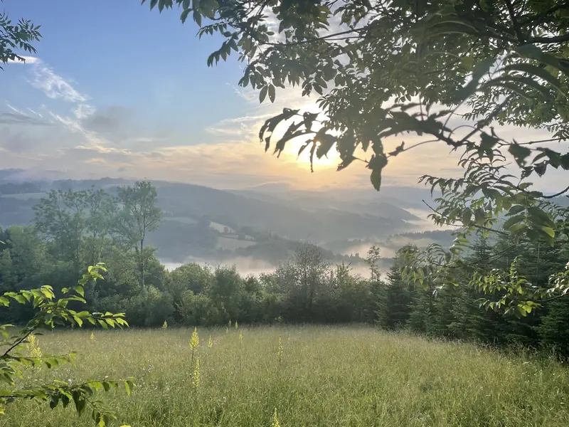
Télécharger la fiche rando au format PDF Sentier de randonnée entre plateau de campagne, sous-bois et bord de rivière qui permet de relier les hameaux de la commune ou de faire la jonction avec les autres randonnées et villages du secteur.
- 💧 1 drinking water point mapped on the route (OpenStreetMap)
Description provided by CD Tarn (Tarn Pleine Nature), in French.
Getting there by liO bus
The start of the trail can be reached on foot from the stop, without a car.
- Le Bez - Combe Rouge bus stop · 40 min walk (walking time measured on the IGN footpath network)
Travel time from the main stations
- Toulouse Matabiau 2h48 by train + bus
Indicative times from SNCF and liO GTFS data. Actual times, there and back, are worked out on the interactive map.
Other hikes from Le Bez - Combe Rouge
Data source
Data produced by CD Tarn (Tarn Pleine Nature), updated on 1 June 2026
Caminada lists trails, not their access status in real time. Always check the local situation (prefectural orders, weather, works) before you set off.