Néoulous summit - Col de l'Ouillat
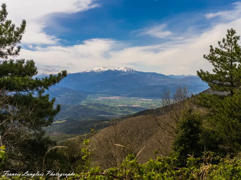
Discover the highest summit of the Alberes : Pic Néoulous, between France et Spain
- 💧 1 drinking water point mapped on the route (OpenStreetMap)
At a glance
16.7 km loop starting from Laroque-des-Albères - Rue du Stade bus stop, 4 minutes' walk from the stop. Allow 6h36 of walking, 1,227 m of ascent, estimated difficulty: hard. 1 drinking water point is mapped on the route. Seasonality: snow possible from December to March.
Description provided by Geotrek PyMed (Pyrenees-Mediterranee); the rest is a summary generated from the route data.
When to go
Snow possible from December to March Highest point: 1,227 m.
Above 1,200 m, snow can cover the waymarks and make the route hard to follow. Ask locally before setting off out of season.
Best season: April to November.
Getting there by liO bus
The start of the trail can be reached on foot from the stop, without a car.
- Laroque-des-Albères - Rue du Stade bus stop · 4 min walk (walking time measured on the IGN footpath network)
Travel time from the main stations
- Toulouse Matabiau 3h37 by train + bus
- Montpellier Saint-Roch 3h15 by train + bus
- Nîmes 3h45 by train + bus
- Perpignan 1h10 by train + bus
- Béziers 2h35 by train + bus
- Carcassonne 2h54 by train + bus
Indicative times from SNCF and liO GTFS data. Actual times, there and back, are worked out on the interactive map.
Other hikes from Laroque-des-Albères - Rue du Stade
Data source
Data produced by Geotrek PyMed (Pyrenees-Mediterranee), updated on 13 May 2026
Caminada lists trails, not their access status in real time. Always check the local situation (prefectural orders, weather, works) before you set off.