From the Cérou to the Aveyron
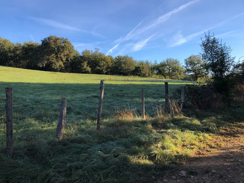
From the Plateaux du Combal and des Graves, the path opens up to the beautiful views of the Cérou and Aveyron valleys.The rather dry highlands contrast, especially in summer, with the freshness in the valleys provided by the two rivers.Heritage also makes an appearance along the path with the small Saint-Projet…
- 💧 1 drinking water point mapped on the route (OpenStreetMap)
Description
From the Plateaux du Combal and des Graves, the path opens up to the beautiful views of the Cérou and Aveyron valleys.The rather dry highlands contrast, especially in summer, with the freshness in the valleys provided by the two rivers.Heritage also makes an appearance along the path with the small Saint-Projet Church in Larroque (12th-15th centuries), which features a simple and rustic beauty.
Description provided by CD Tarn (Tarn Pleine Nature).
Getting there by train
The start of the trail can be reached on foot from the station, without a car.
- Lexos station · 20 min walk
Travel time from the main stations
- Toulouse Matabiau 1h07 by train
- Montpellier Saint-Roch 3h32 by train
- Perpignan 3h59 by train
- Béziers 2h48 by train
- Tarbes 3h24 by train
- Carcassonne 2h02 by train
- Agen 2h43 by train
Indicative times from SNCF GTFS data. Actual times, there and back, are worked out on the interactive map.
Data source
Data produced by CD Tarn (Tarn Pleine Nature), updated on 4 March 2026
Caminada lists trails, not their access status in real time. Always check the local situation (prefectural orders, weather, works) before you set off.