La Rocherousse
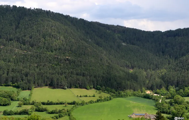
Un sentier pédestre dans la Vallée du Lot permettant de découvrir le pittoresque village du Bruel et ses alentours.
At a glance
8.4 km loop starting from Le Bruel station, 1 minutes' walk from the platform. Allow 2h42 of walking, 316 m of ascent, estimated difficulty: easy. Seasonality: occasional snow in midwinter.
Description provided by PNR Grands Causses, in French; the rest is a summary generated from the route data.
When to go
Occasional snow in midwinter Highest point: 912 m.
Trail usable all year round in normal conditions. Check after a snowfall between December and February.
Best season: March to November.
Getting there by train
The start of the trail can be reached on foot from the station, without a car.
- Le Bruel station · 1 min walk (walking time measured on the IGN footpath network)
Data source
Data produced by PNR Grands Causses, updated on 15 March 2026
Caminada lists trails, not their access status in real time. Always check the local situation (prefectural orders, weather, works) before you set off.