Hike · Aveyron
La voie du rail
11.9 km3h42+369 mModerate
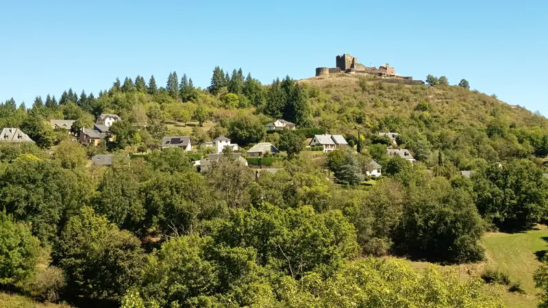
En suivant l’ancienne voie ferrée réaménagée en chemin de randonnée, imaginons ce qu’a été sa construction un siècle en arrière (1905).
- 💧 1 drinking water point mapped on the route (OpenStreetMap)
Description provided by PNR Grands Causses, in French.
Getting there by liO bus
The start of the trail can be reached on foot from the stop, without a car.
- Espalion - Centre F. Poulenc/Coll. Denayrouze bus stop · 19 min walk (walking time measured on the IGN footpath network)
Other hikes from Espalion - Centre F. Poulenc/Coll. Denayrouze
Data source
Data produced by PNR Grands Causses, updated on 6 July 2026
Caminada lists trails, not their access status in real time. Always check the local situation (prefectural orders, weather, works) before you set off.