Le roc des Cabres
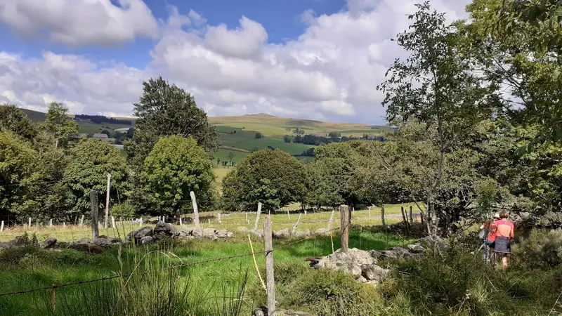
Une randonnée qui associe les paysages typiques du plateau de l'Aubrac et patrimoine de pays.
- 💧 1 drinking water point mapped on the route (OpenStreetMap)
At a glance
12.6 km loop starting from Laguiole - Abb Foirail bus stop, 1 minutes' walk from the stop. Allow 3h42 of walking, 296 m of ascent, estimated difficulty: moderate. 1 drinking water point is mapped on the route. Seasonality: occasional snow in midwinter.
Description provided by PNR Grands Causses, in French; the rest is a summary generated from the route data.
When to go
Occasional snow in midwinter Highest point: 1,138 m.
Trail usable all year round in normal conditions. Check after a snowfall between December and February.
Best season: March to November.
Getting there by liO bus
The start of the trail can be reached on foot from the stop, without a car.
- Laguiole - Abb Foirail bus stop · 1 min walk (walking time measured on the IGN footpath network)
Other hikes from Laguiole - Abb Foirail
Data source
Data produced by PNR Grands Causses, updated on 1 June 2026
Caminada lists trails, not their access status in real time. Always check the local situation (prefectural orders, weather, works) before you set off.