Hike · Aveyron
Les berges de l'Aveyron
8.5 km2h18+96 mEasy
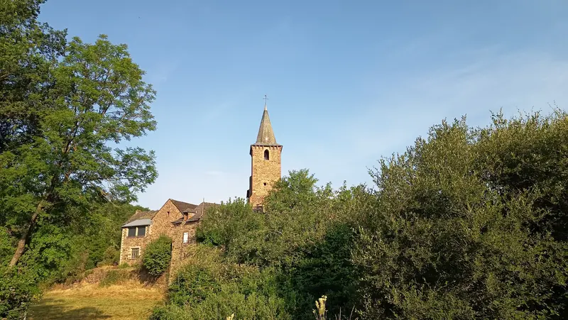
Le village de La Loubière s’étend sur un petit promontoire rocheux, mettant les maisons à l’abri des fortes crues de de l’Aveyron. La pierre rougeâtre, facilement taillable, a permis la réalisation de jolies maisons anciennes
- 💧 1 drinking water point mapped on the route (OpenStreetMap)
Description provided by PNR Grands Causses, in French.
Getting there by liO bus
The start of the trail can be reached on foot from the stop, without a car.
- La Loubière - Canabols bus stop · 12 min walk
Travel time from the main stations
- Toulouse Matabiau 3h06 by train + bus
- Béziers 3h51 by train + bus
Indicative times from SNCF and liO GTFS data. Actual times, there and back, are worked out on the interactive map.
Other hikes from La Loubière - Canabols
Data source
Data produced by PNR Grands Causses, updated on 6 July 2026
Caminada lists trails, not their access status in real time. Always check the local situation (prefectural orders, weather, works) before you set off.