Les Fontaines
Sur le flanc nord du mont Goulet dont on approche le sommet (1497 m), la balade rafraichissante en été passe au milieu de la forêt domaniale et offre de très belles vues, de l'autre côté, sur le petit causse granitique de Montbel.
- 💧 1 drinking water point mapped on the route (OpenStreetMap)
Description provided by Parc National des Cevennes, in French.
When to go
Snow possible from December to March Highest point: 1,380 m.
Above 1,200 m, snow can cover the waymarks and make the route hard to follow. Ask locally before setting off out of season.
Best season: April to November.
Getting there by train
The start of the trail can be reached on foot from the station, without a car.
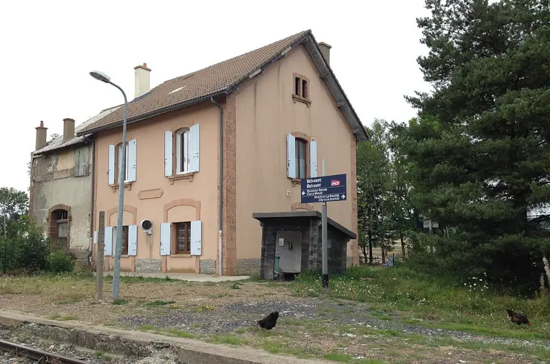
- Belvezet station · 7 min walk (walking time measured on the IGN footpath network)
Travel time from the main stations
- Montpellier Saint-Roch 3h38 by train
- Nîmes 2h59 by train
Indicative times from SNCF GTFS data. Actual times, there and back, are worked out on the interactive map.
Other hikes from Belvezet
Data source
Data produced by Parc National des Cevennes, licence: Open data (data.gouv.fr) - reutilisation libre, attribution par fiche, updated on 15 July 2024
Caminada lists trails, not their access status in real time. Always check the local situation (prefectural orders, weather, works) before you set off.