Hike · Tarn
Les hauts de la Maladène
14.4 km4h06+234 mModerate
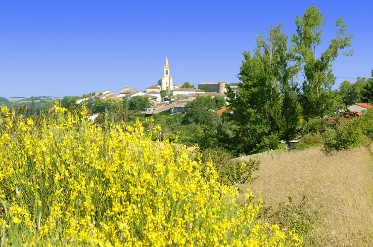
In the Salvagnacois region, between vineyards and groves, paths run alongside farms made of stone and terracotta. Further up, on the heights of Sivens, they turn into forest trails and lead to magnificent panoramas overlooking the Tescou Valley.
Description provided by CD Tarn (Tarn Pleine Nature).
Getting there by liO bus
The start of the trail can be reached on foot from the stop, without a car.
- Salvagnac - Saint Pierre bus stop · 7 min walk (walking time measured on the IGN footpath network)
Travel time from the main stations
- Toulouse Matabiau 1h23 by train + bus
- Béziers 4h00 by train + bus
- Tarbes 3h58 by train + bus
- Carcassonne 3h00 by train + bus
- Agen 1h49 by train + bus
Indicative times from SNCF and liO GTFS data. Actual times, there and back, are worked out on the interactive map.
Other hikes from Salvagnac - Saint Pierre
Data source
Data produced by CD Tarn (Tarn Pleine Nature), updated on 13 March 2026
Caminada lists trails, not their access status in real time. Always check the local situation (prefectural orders, weather, works) before you set off.