Hike · Aveyron
Parcours Terra Trail n°3 Marcillac
18.3 km5h48+638 mHard
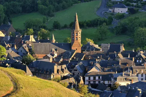
Lancez-vous sur un itinéraire vallonné et haut en couleur, où chaque foulée raconte l'histoire séculaire du vignoble de Marcillac.
- 💧 1 drinking water point mapped on the route (OpenStreetMap)
Description provided by PNR Grands Causses, in French.
Getting there by liO bus
The start of the trail can be reached on foot from the stop, without a car.
- Marcillac-Vallon - Pont Rouge bus stop · 1 min walk (walking time measured on the IGN footpath network)
Other hikes from Marcillac-Vallon - Pont Rouge
Data source
Data produced by PNR Grands Causses, updated on 15 March 2026
Caminada lists trails, not their access status in real time. Always check the local situation (prefectural orders, weather, works) before you set off.