Hike · Tarn
Sentier de la plaine d'Agout
6.8 km1h48+32 mEasy
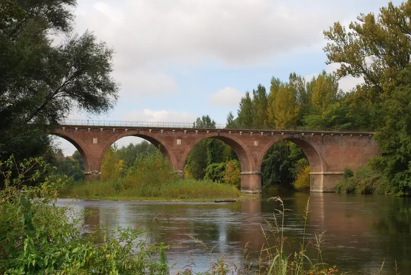
Dans un méandre de l'Agout et au pied de la colline de Giroussens, cette balade familiale vous mènera en bordure de rivière et sur des routes de campagne au milieu des champs.
- 💧 1 drinking water point mapped on the route (OpenStreetMap)
Description provided by CD Tarn (Tarn Pleine Nature), in French.
Getting there by train
The start of the trail can be reached on foot from the station, without a car.
- Les Cauquillous station · 41 min walk
Travel time from the main stations
- Toulouse Matabiau 32 min by train
- Montpellier Saint-Roch 3h09 by train
- Nîmes 3h39 by train
- Perpignan 3h06 by train
- Béziers 2h35 by train
- Tarbes 2h29 by train
- Carcassonne 1h42 by train
- Agen 2h01 by train
Indicative times from SNCF GTFS data. Actual times, there and back, are worked out on the interactive map.
Data source
Data produced by CD Tarn (Tarn Pleine Nature), updated on 14 October 2026
Caminada lists trails, not their access status in real time. Always check the local situation (prefectural orders, weather, works) before you set off.