Roman Trail
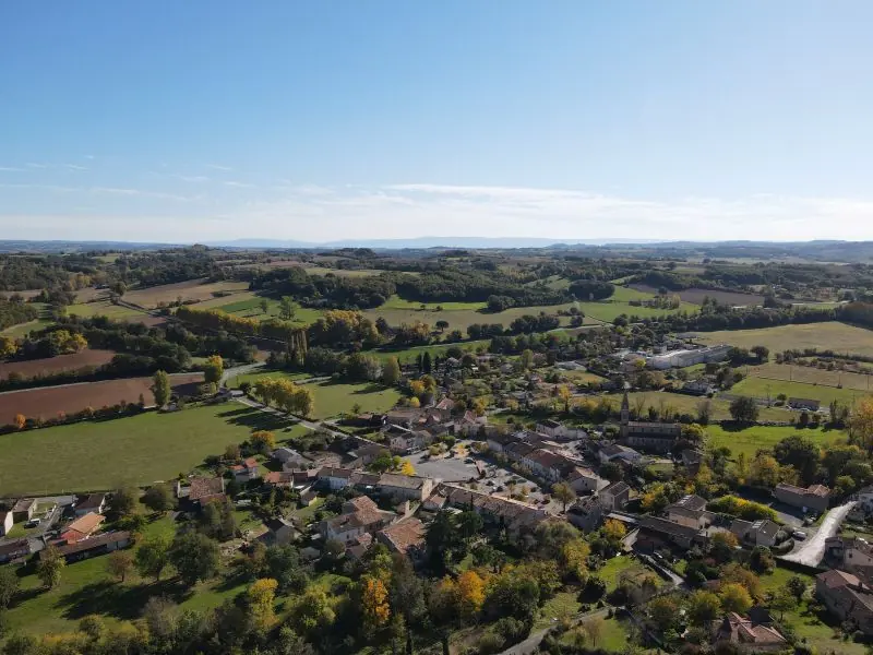
The Roman trail leaves from the center of the village of Lombers. The known history of this town lies between 1165 and 1633. Its origin dates back to the Celtic or Gallo-Roman era. There was a fortified castle at the height of the peak, allowing enemies to be seen approaching. At the northern base of the Pic,…
Description
The Roman trail leaves from the center of the village of Lombers. The known history of this town lies between 1165 and 1633. Its origin dates back to the Celtic or Gallo-Roman era. There was a fortified castle at the height of the peak, allowing enemies to be seen approaching. At the northern base of the Pic, coming from Albi, the Roman road was divided into two parts, one meandering towards the castle, the other allowing access to the town via the PAPAGAY gate. It is also on the old Roman road the “cami Roumieu” that the Roman trail continues.Download the hiking sheet in PDF format
Description provided by CD Tarn (Tarn Pleine Nature).
Getting there by liO bus
The start of the trail can be reached on foot from the stop, without a car.
- Lombers - La Teulière bus stop · 36 min walk
Travel time from the main stations
- Toulouse Matabiau 2h29 by train + bus
- Béziers 3h31 by train + bus
- Carcassonne 3h51 by train + bus
Indicative times from SNCF and liO GTFS data. Actual times, there and back, are worked out on the interactive map.
Other hikes from Lombers - La Teulière
Data source
Data produced by CD Tarn (Tarn Pleine Nature), updated on 13 March 2026
Caminada lists trails, not their access status in real time. Always check the local situation (prefectural orders, weather, works) before you set off.