Hike · Tarn
Sentier du Grand tour de Lagrave
14.3 km3h48+118 mModerate
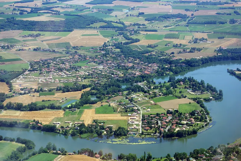
Depuis le centre de Lagrave, ce grand circuit parcourt les paysages de la vallée du Tarn entre vignes, ruisseaux et chemins ruraux. Il offre de beaux points de vue sur le méandre du Tarn et passe près du château de Touny-les-Roses et du moulin du Carré.
Description provided by CD Tarn (Tarn Pleine Nature), in French.
Getting there by train
The start of the trail can be reached on foot from the station, without a car.
- Marssac-sur-Tarn station · 45 min walk
Travel time from the main stations
- Toulouse Matabiau 59 min by train
- Béziers 3h36 by train
- Tarbes 3h34 by train
- Carcassonne 2h36 by train
- Agen 2h32 by train
Indicative times from SNCF GTFS data. Actual times, there and back, are worked out on the interactive map.
Other hikes from Marssac-sur-Tarn
Data source
Data produced by CD Tarn (Tarn Pleine Nature), updated on 30 April 2026
Caminada lists trails, not their access status in real time. Always check the local situation (prefectural orders, weather, works) before you set off.