Sentier du Puech du Caylou
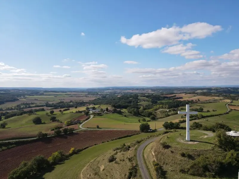
Le sentier du Puech du Caylou vous fera découvrir la Bastide historique de Réalmont fondée en 1272 par Guillaume de Cohardon, avant de prendre de la hauteur jusqu'au sommet du Puech, ou pic, du Caylou culminant à 329 mètres. Il domine le village et offre une vue panoramique sur tout le Tarn, de la Montagne Noire à…
- 💧 2 drinking water points mapped on the route (OpenStreetMap)
Description
Le sentier du Puech du Caylou vous fera découvrir la Bastide historique de Réalmont fondée en 1272 par Guillaume de Cohardon, avant de prendre de la hauteur jusqu'au sommet du Puech, ou pic, du Caylou culminant à 329 mètres. Il domine le village et offre une vue panoramique sur tout le Tarn, de la Montagne Noire à la forêt de la Grésigne. Par beau temps, on peut apercevoir les Pyrénées. Télécharger la fiche rando au format PDFVous pouvez également faire se sentier en Geocaching
Description provided by CD Tarn (Tarn Pleine Nature), in French.
Getting there by liO bus
The start of the trail can be reached on foot from the stop, without a car.
- Réalmont - Centre Ville bus stop · 6 min walk (walking time measured on the IGN footpath network)
Travel time from the main stations
- Toulouse Matabiau 2h32 by train + bus
- Béziers 3h26 by train + bus
- Carcassonne 3h54 by train + bus
Indicative times from SNCF and liO GTFS data. Actual times, there and back, are worked out on the interactive map.
Data source
Data produced by CD Tarn (Tarn Pleine Nature), updated on 13 March 2026
Caminada lists trails, not their access status in real time. Always check the local situation (prefectural orders, weather, works) before you set off.