Hike · Aveyron
Trail N°25 - Vabres-l'Abbaye / Montcamp
10.3 km3h24+421 mModerate
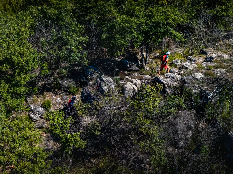
Between the Dourdou plain and the Rougier surroundings, enjoy running through a transitional landscape mainly covered by woodland, which from single-tracks to technical paths, gradually turns out to be a formidable playground for trail-runners.
Description provided by PNR Grands Causses.
Getting there by liO bus
The start of the trail can be reached on foot from the stop, without a car.
- Vabres-L'abbaye - Centre bus stop · 2 min walk (walking time measured on the IGN footpath network)
Travel time from the main stations
- Toulouse Matabiau 3h03 by train + bus
- Montpellier Saint-Roch 3h05 by train + bus
- Béziers 3h28 by train + bus
Indicative times from SNCF and liO GTFS data. Actual times, there and back, are worked out on the interactive map.
Other hikes from Vabres-L'abbaye - Centre
Data source
Data produced by PNR Grands Causses, updated on 30 September 2026
Caminada lists trails, not their access status in real time. Always check the local situation (prefectural orders, weather, works) before you set off.