Hike · Aveyron
Green Lane linking St-Affrique and Vabres l'Abbaye
11.8 km3h06+68 mModerate
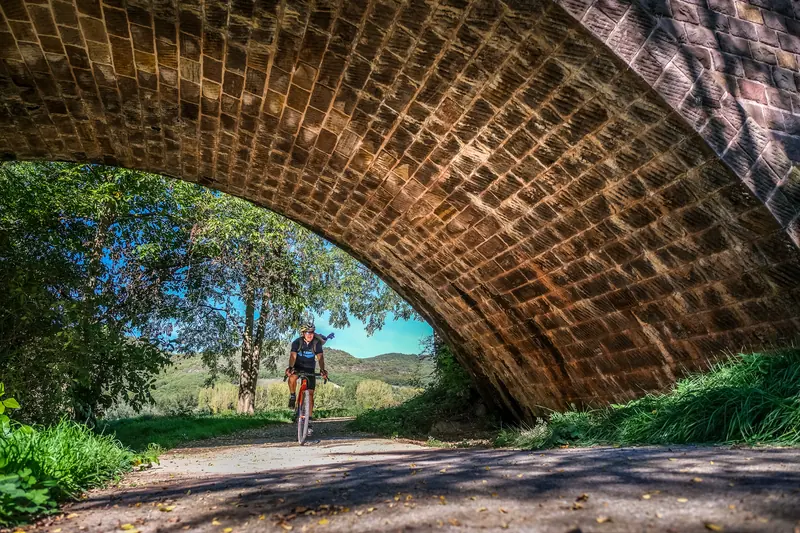
This pleasant stroll which runs along the banks of the Sorgues river and follows the course of an ancient railway allows to discover Saint-Affrique and the Episcopalian city of Vabres from a new perspective.
- 💧 5 drinking water points mapped on the route (OpenStreetMap)
Description provided by PNR Grands Causses.
Getting there by liO bus
This route links two stations: you can walk it in either direction, without coming back to where you started.
- Vabres-L'abbaye - Centre bus stop start · on foot
- Saint-Affrique - Gare Routière bus stop start · 3 min walk (walking time measured on the IGN footpath network)
Travel time from the main stations
- Toulouse Matabiau 3h03 by train + bus
- Montpellier Saint-Roch 3h05 by train + bus
- Béziers 3h28 by train + bus
Indicative times from SNCF and liO GTFS data. Actual times, there and back, are worked out on the interactive map.
Other hikes from Vabres-L'abbaye - Centre
Data source
Data produced by PNR Grands Causses, updated on 1 April 2026
Caminada lists trails, not their access status in real time. Always check the local situation (prefectural orders, weather, works) before you set off.