L'Oustal Crémat - Trail n°7
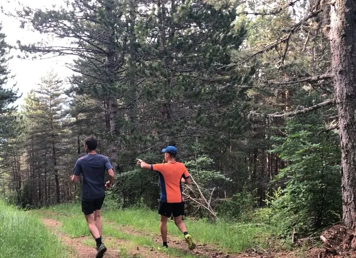
A short but complete loop: a pretty path along a brook, a charming hamlet, a handsome track in the forest… An ideal introduction to the joys of trail running and the bucolic outdoors.
- 💧 1 drinking water point mapped on the route (OpenStreetMap)
Description provided by Parc National des Cevennes.
When to go
Occasional snow in midwinter Highest point: 1,074 m.
Trail usable all year round in normal conditions. Check after a snowfall between December and February.
Best season: March to November.
Getting there by liO bus
The start of the trail can be reached on foot from the stop, without a car.
- Chadenet - Chadenet Village bus stop · 44 min walk (walking time measured on the IGN footpath network)
Other hikes from Chadenet - Chadenet Village
Data source
Data produced by Parc National des Cevennes, licence: Open data (data.gouv.fr) - reutilisation libre, attribution par fiche, updated on 1 January 2026
Caminada lists trails, not their access status in real time. Always check the local situation (prefectural orders, weather, works) before you set off.